When I first started coming to Iqaluit, I was somewhat surprised by the amount of neighbourhoods it included. (Perhaps I assumed it would be too small for such plentiful subdivision?) In any case, I noticed people mentioning peculiar sounding locations in casual conversation: “It’s just past Legoland!” “I live in Happy Valley, what about you?” “It’s a pretty far walk from Tundra Ridge.” And the list goes on. To be honest, I felt silly asking “Uhhh, where’s that?” So, I have put together an Iqaluit Neighbourhood Guide to help others make sense of it all.
Disclaimer: Neighbourhood identification, unless working with Stats Canada on the census or something, is not an exact science. Please forgive any boundary errors, wrongful inclusions, glaring omissions, or other general inaccuracies.
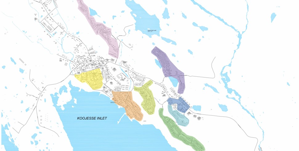
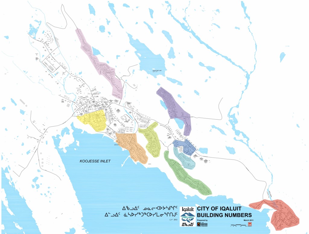
The Map
The map below is for low-res display purposes only. Download a high-res, readable PDF with this link: Iqaluit Neighbourhood Map.

Apex
Map Colour: Red
House Numbers: 3000s
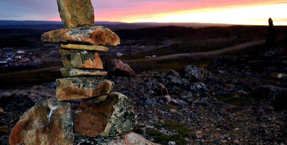
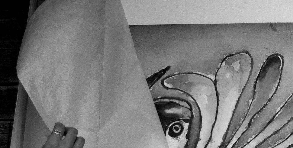
Apex is where nomadic Inuit began to settle back when modern-day Iqaluit was a military airbase. Located 5km from town, Apex is Iqaluit’s only “suburb.” Descending the hill entering Apex, a calming effect can’t help but wash over you. Much like the countryside removes all stresses from the busy city, Apex’s community vibe removes all stresses from the bustling core of Iqaluit. In Apex, you’ll find some popular destinations such as the Hudson’s Bay Company trading post (along the sandy beach), Rannva Design (on the other side of the bridge), and Rotary Park (on the far end of town). Don’t forget to climb to the top of Apex Hill – it offers incredible views of Tarr Inlet and Koojessee Inlet.

Apex, as seen from the furthest extent of Tundra Ridge. Photo by Anna Bunce.

Another view of Apex, as seen from the hills above. Photo by Sara Statham.
Lower Iqaluit
Map Colour: Orange
House Numbers: 100s, 200s, 300s
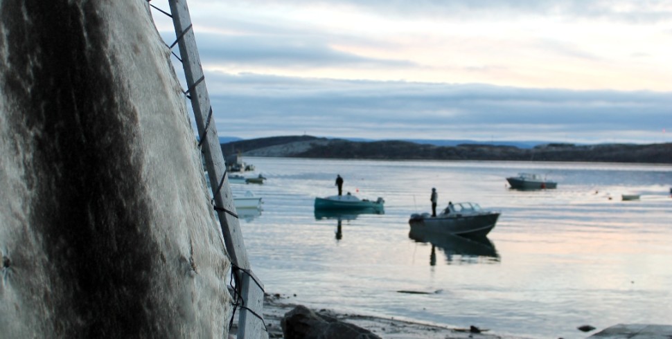
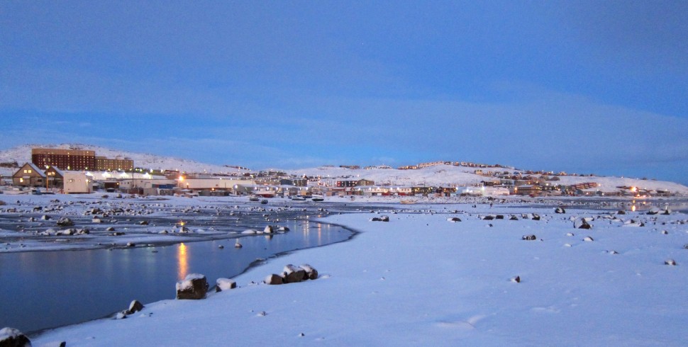
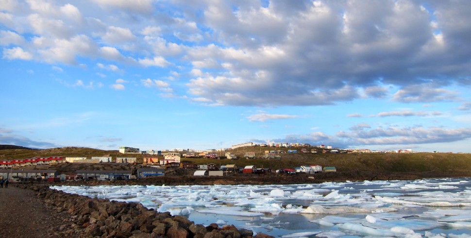
This subdivision is a bit of a mystery to me. To be honest, I didn’t even know it had a name until I started my internet sleuthing. I believe it encompasses sub-neighbourhoods known more colloquially as The Beach (sounds lovely, and it is) and The Graveyard (sounds depressing, but it’s beautiful). Lower Iqaluit is an older, diverse neighbourhood that is full of activity due to its close proximity to town as well as the breakwater.

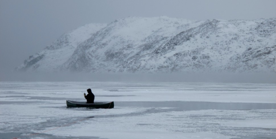
The view of Lower Iqaluit from the breakwater. Tundra Valley and Tundra Ridge can be seen further uphill from the shore. Photo by Sara Statham.

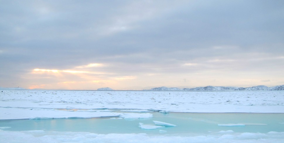
Lower Iqaluit during freeze-up in November. Photo by Sara Statham.
Lower Base
Map Colour: Yellow
House Numbers: 600s, 700s, 900s, 1000s
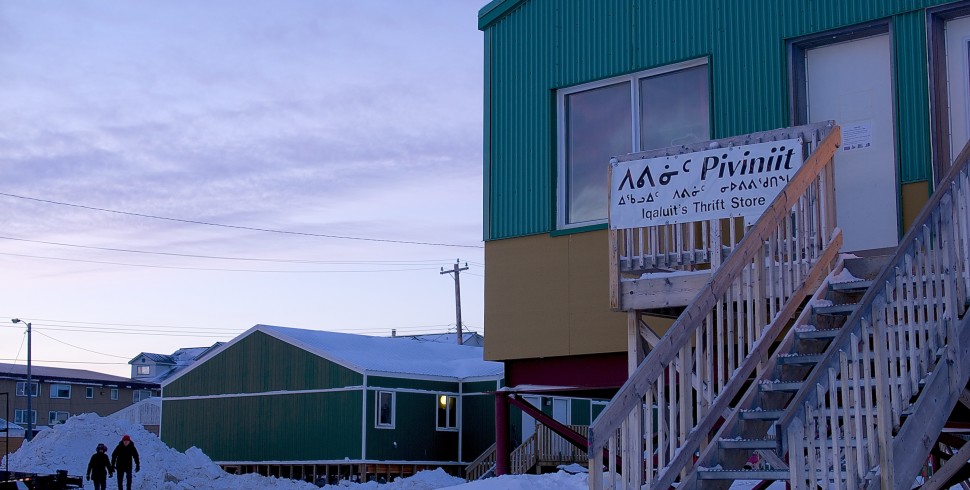
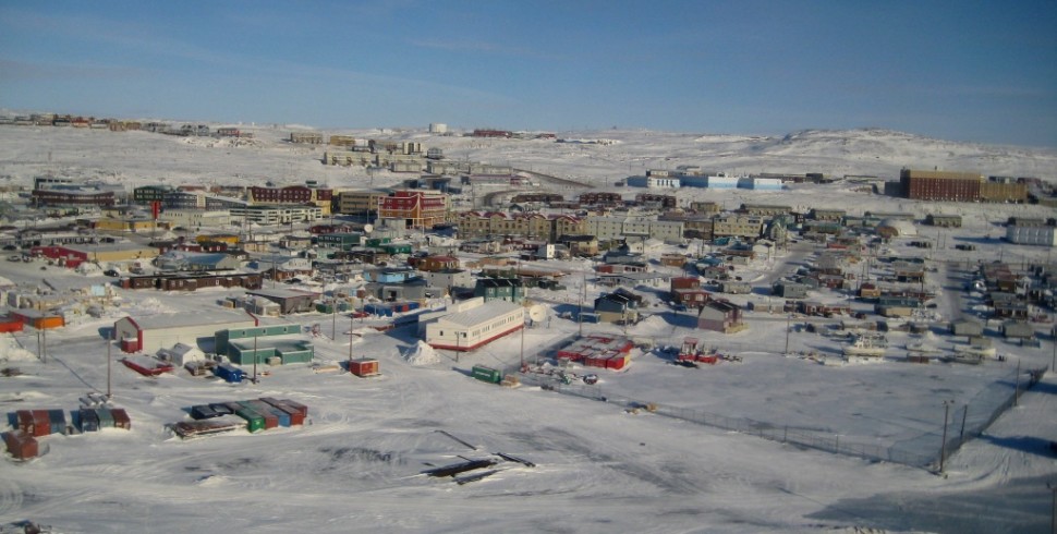
Okay, this neighbourhood is another confusing one. Originally established by the Americans in the early 1940s, Lower Base is one of the five distinct areas that made up Iqaluit in the 1960s. I don’t know where it stops and starts, but I think it occupies most of the downtown area. In fact, my sources tell me that “Lower Base” is has become synonymous with “Downtown.” Here you’ll find Aayuraa Studio, which is a jewelry studio shared by local artists Mathew Nuqingaq, Dan Wade, and others. Be sure to check it out.

Lower Base, as seen from the very top of Hospital Hill. Photo by Anna Bunce.

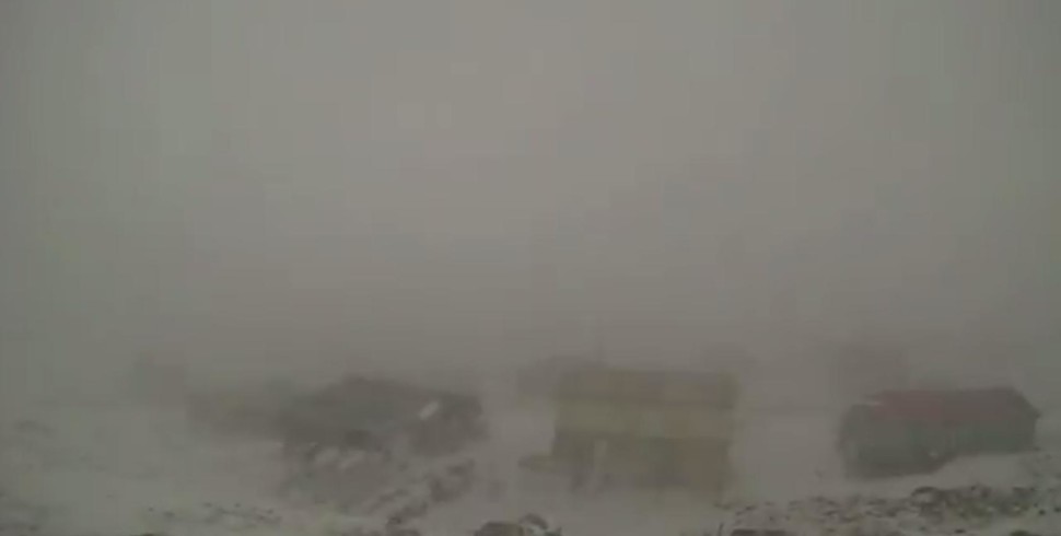
Lower Base amidst snow drifts. Photo by Sara Statham.
Happy Valley
Map Colour: Light Green
House Numbers: 400s, 1600s
Happy Valley is located on the hill overlooking Lower Iqaluit and the graveyard. It is a slightly older subdivision that is socially and economically diverse, as it includes co-op housing, public housing, as well as private homes. This neighbourhood has a friendly vibe (go figure) and people have told me that it is the neighbourhood that is most similar to smaller Nunavut communities. What makes it so “happy?” We aren’t sure. Elisapi Davidee-Aningmiuq was quoted on CBC radio as saying, “I remember years ago somebody just said where are you going. Happy Valley. And then it just became that name, like it, like with really no background.”

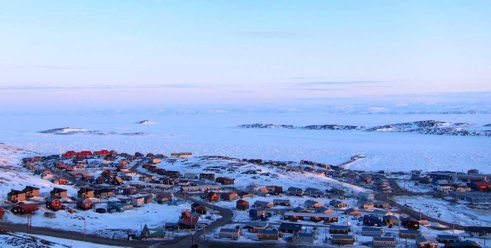
Happy Valley and the spectacular Frobisher Bay. Photo by Sara Statham.

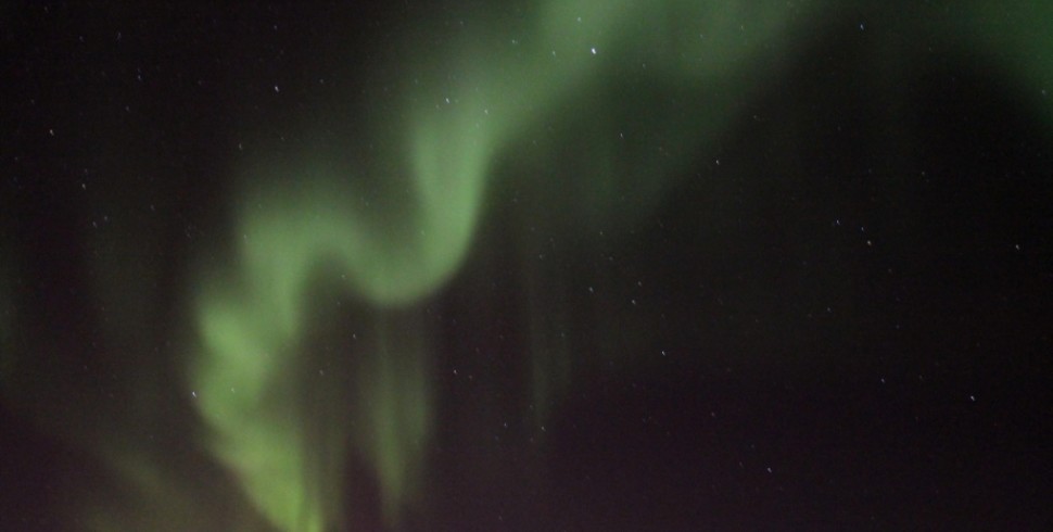
The dancing northern lights above Happy Valley, as seen from Tundra Ridge. Photo by Sara Statham.
Tundra Valley
Map Colour: Dark Green
House Numbers: 2400s, 2500s
Tundra Valley can be found on the hill above Happy Valley. Once upon a time, it was referred to as “Bel Air” because it was the newest neighbourhood in town. With a slew of recent construction, however, the name does not seem to have stuck. Tundra Valley consists of brightly coloured detached homes that have some of the best bay views in town. Many of the houses offer quick access to the Apex Trail, which leads to – you guessed it – Apex.

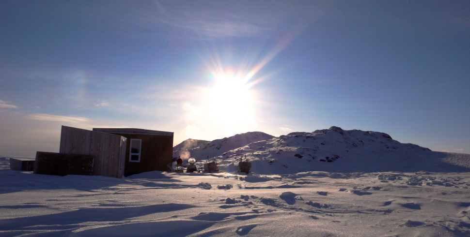
Low-lying, mid-winter, late-morning sunshine on Tundra Valley. Photo by Sara Statham.

The furthest extent of Tundra Valley as viewed from Apex Hill. Photo by Sara Statham.
Tundra Ridge
Map Colour: Light Blue
House Numbers: 2600s
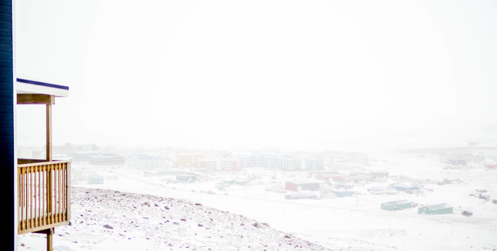
Continuing our upward ascent, Tundra Ridge is located above Tundra Valley. This lofty neighbourhood reaches perhaps the highest elevation in Iqaluit. Can you imagine the views? Well, you don’t have to. Because I took photos. Yes, Tundra Ridge is a great place to check out buena vistas including downtown, Happy Valley, and Tundra Valley, and Frobisher Bay.

From the bay, look up! Look way, way up! There you’ll find Tundra Ridge. Photo by Sara Statham.

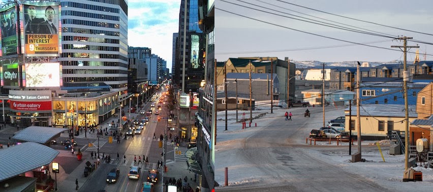
The view of downtown from Tundra Ridge. Iqaluit looks like quite the city from this vantage point. Photo by Sara Statham.
Legoland
Map Colour: Dark Blue
House Numbers: 2700s
Well, doesn’t this place sound fun?! Legoland is a funny little neighbourhood made up of tightly packed, brightly coloured, cookie-cutter townhouses. I read an article whereby the author suggested that “[Iqaluit] looked as if God had emptied his hand of Monopoly pieces.” I figured he must have been referring to Legoland, for I believe Monopoly pieces are perhaps a more apt descriptor than Lego blocks. But I digress. It remains a mystery where Legoland starts and ends. According to my research, some people consider it to include the houses along Coronation Street, while others include the aesthetically similar buildings that are geographically similar to Tundra Ridge.

The back view of houses along Coronation Street, side by side by side. Photo by Sara Statham.

Quasi-Legoland, geographically situated on Tundra Ridge. Photo by Sara Statham.
Road to Nowhere
Map Colour: Purple
House Numbers: 4000s
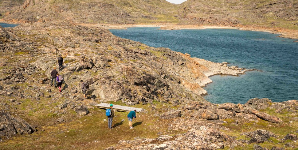
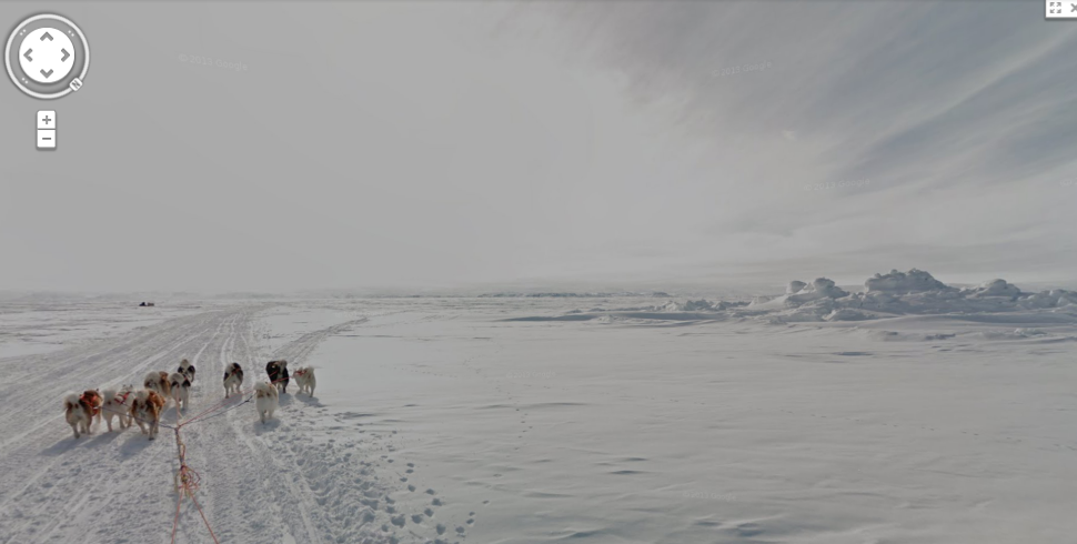
Ah, the famed Road to Nowhere. Well, if we’re being literal it actually leads to a firing range, an abandoned “Site of Future Cemetary,” and some excellent hiking and swimming areas. But before you get that far, this newer subdivision includes single-family homes as well as very recently built multi-unit buildings. Last fall, the City of Iqaluit approved plans to develop another subdivision along the Road to Nowhere, so I’m going to have to update my map soon.

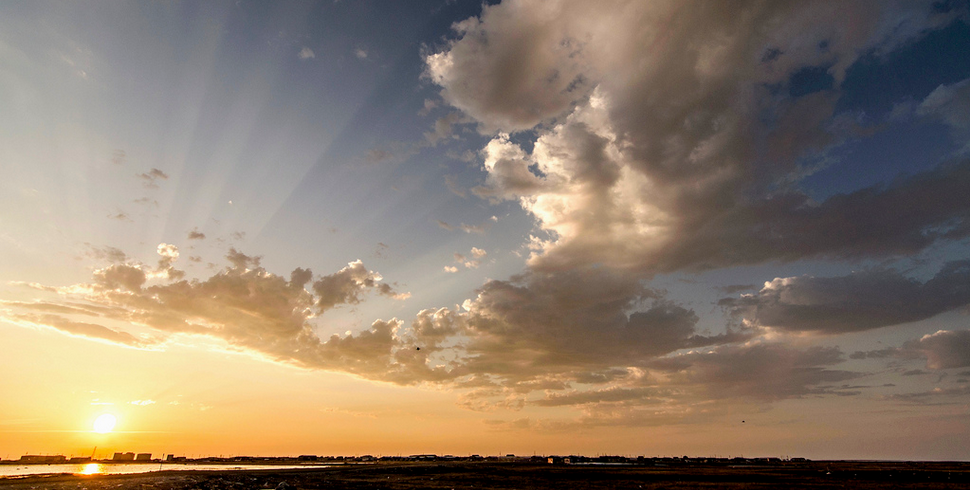
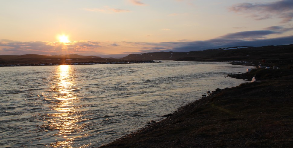
Sunset on the Road to Nowhere subdivision, as seen from the top of Hospital Hill. Photo by Sara Statham.

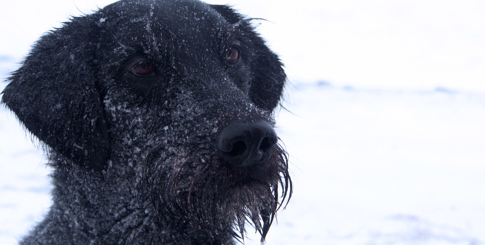
The new multi-unit buildings overlooking Dead Dog Lake. Photo by Sara Statham.
Plateau
Map Colour: Pink
House numbers: 5000s
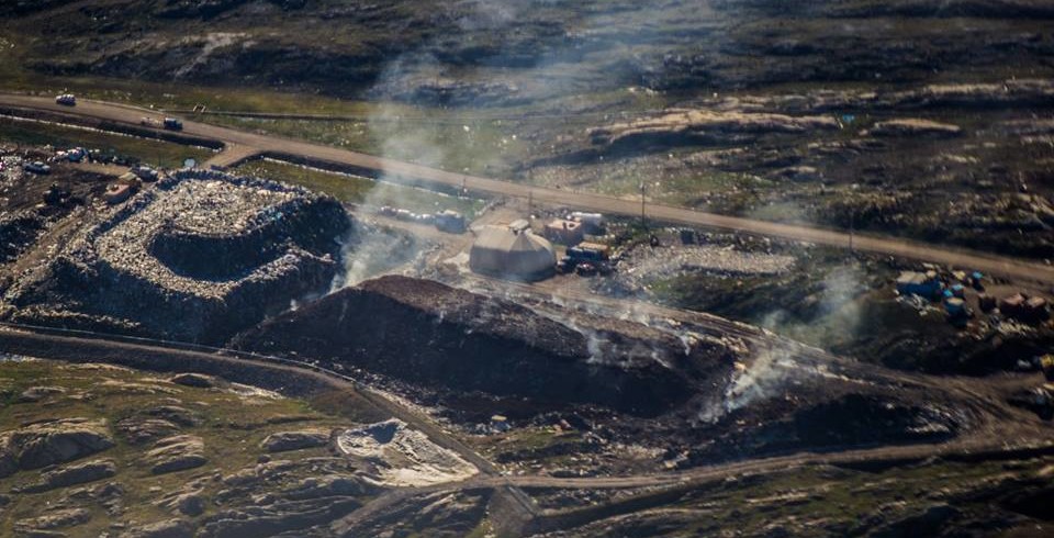
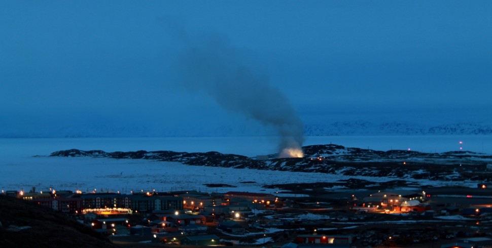
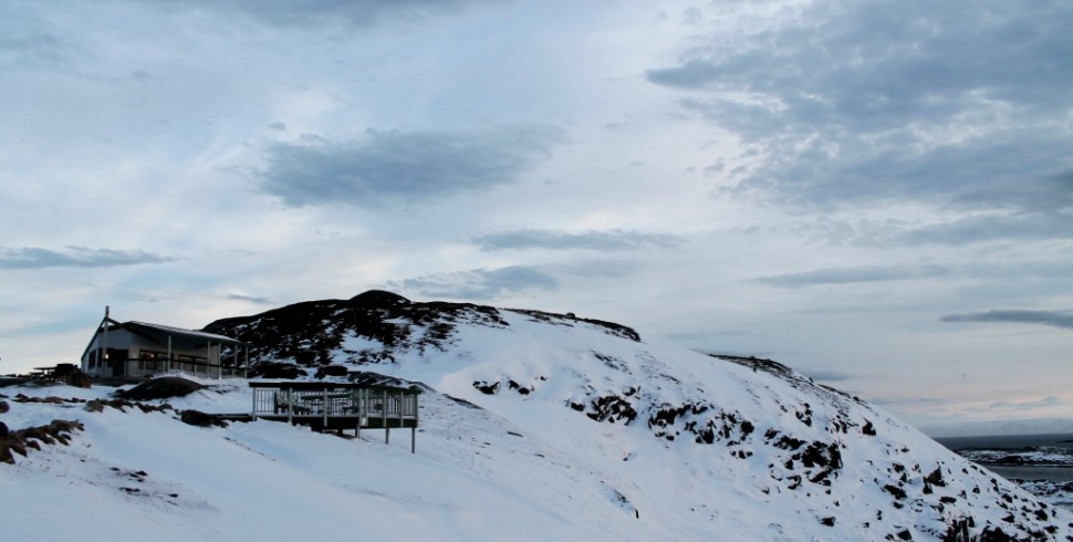
The Plateau is located on – get this – a plateau. Found above the airstrip and North 40 area of Iqaluit, the Plateau is considered to be the “newest and wealthiest” subdivision. Location dependent, this neighbourhood offers views of downtown, Old Res, and the tundra. Oh, and of course the Dumpcano. If you continue along the Plateau’s main gravel road (please, City of Iqaluit, pave the damned thing), it includes its own version of a road to nowhere. Last winter, I walked along it for a good hour or so before getting scared of wild critters and frostbite and turned around; it literally goes nowhere. (Update: my investigative run this morning taught me that it leads to the quarry.)

The Plateau from below. Photo by Sara Statham.

The view of downtown from the farthest reaches of the Plateau. Photo by Sara Statham.
What do you think of this Iqaluit Neighbourhood Guide? Do you have any corrections or history lessons or anecdotes to share? If so, please let us know in the comment section below or on Twitter!


![[GUEST POST] How to Buy Alcohol in Iqaluit](http://findingtruenorth.ca/wp-content/uploads/2014/10/IMG_7936-970x490.jpg)


![[Guest Post] Iqaluit Community Greenhouse: Oasis in the Tundra](http://findingtruenorth.ca/wp-content/uploads/2014/07/375665_10151742048070379_1152923082_n-612x490.jpg)
![[GUEST POST] Absolute Car-nage: A Field Guide to the Bumpers of Iqaluit](http://findingtruenorth.ca/wp-content/uploads/2014/07/iqaluit-field-guide-970x490.jpg)

![[GUEST POST] How to Sealift to Iqaluit](http://findingtruenorth.ca/wp-content/uploads/2014/06/sealift-bay-970x490.jpg)

![[GUEST POST] Communications: Nunavut News Thursday, May 22, 2014 13:30](http://findingtruenorth.ca/wp-content/uploads/2014/05/DumpFire-970x490.jpg)


![[GUEST POST] Floppy Sock](http://findingtruenorth.ca/wp-content/uploads/2014/04/6-970x490.jpg)


![[GUEST POST] Gustavo’s Guide to Aeroplan, Part Two: Booking a Reward Ticket](http://findingtruenorth.ca/wp-content/uploads/2014/03/plane-960x490.jpg)
![[GUEST POST] Aeroplan to Iqaluit, Part One: Choosing the Right Credit Card](http://findingtruenorth.ca/wp-content/uploads/2014/03/gustavo-ticket-2-970x490.jpg)


![[Guest Post] 10 Ways Iqaluit is Like a Campus](http://findingtruenorth.ca/wp-content/uploads/2013/12/picstitch-970x490.jpg)


It is so great that you did this. It took me a while to figure it out when I lived in Iqaluit!! This will be so helpful to newbies!!